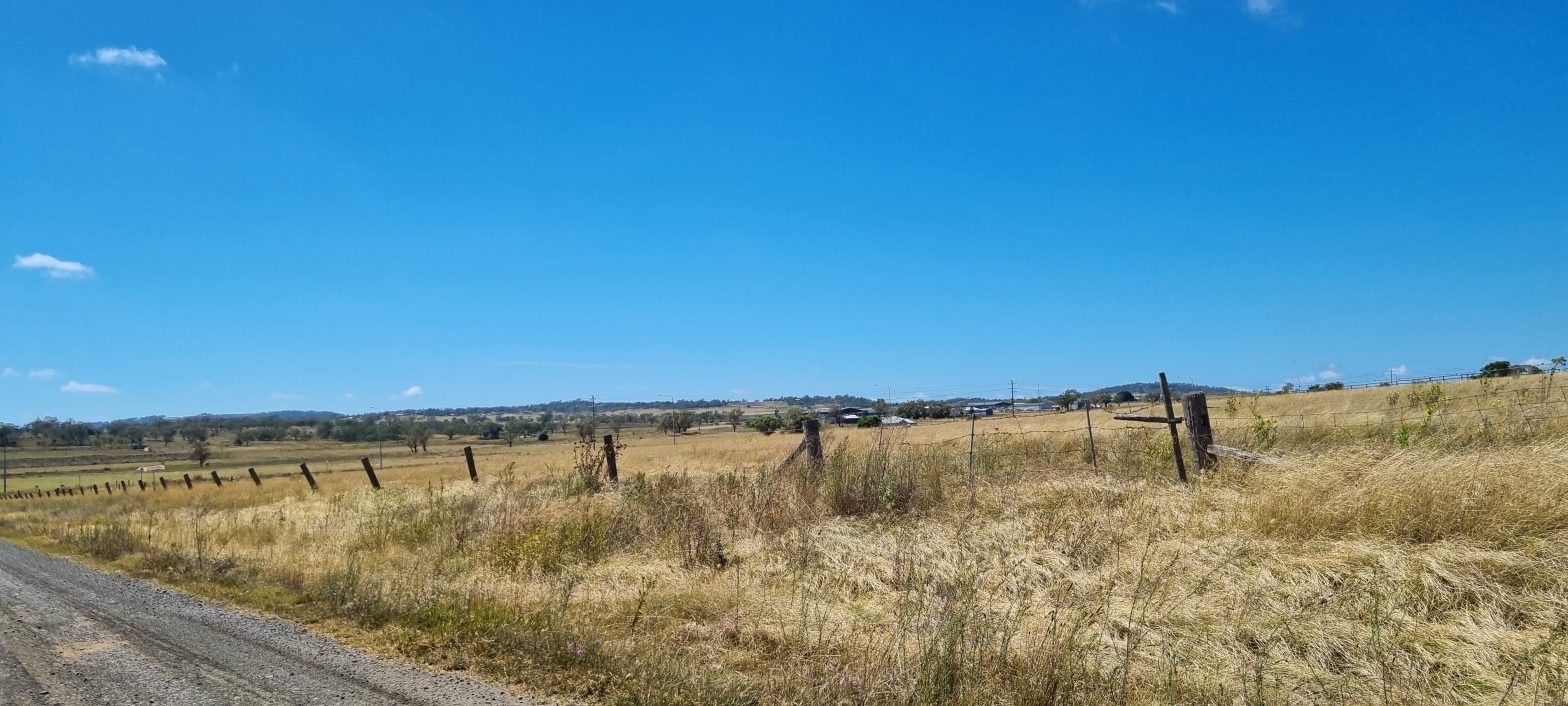
Rural land in South East Queensland is affected by the South East Queensland Regional Plan which maps the area and places land into one of three categories, the Urban Footprint, Rural Living Area or the Regional Landscape and Rural Production Area.
Most Rural land is included in the Regional Landscape and Rural Production Area and the Regional Plan through the Planning Regulation 2017 prohibits the creation of allotments less than 100 hectares in area. Due to this prohibition there is currently no pathway for which an owner can submit a properly made application for subdivision.
However, there are some exemptions with subdivision being permitted in the following circumstances:
– lot to be created is for a public utility use or purpose;
– the lot is currently a divided lot severed by a road and the road form the whole boundary between the proposed lots;
– it is consistent with an existing development approval.
You can check the category of your land under the South East Queensland Regional Plan using the following mapping system:
https://dams.dsdip.esriaustraliaonline.com.au/damappingsystem
For help identifying the Regional Plan classification of your land, and the implications for subdivision, get in touch with us for a no-obligation desktop review via office@consultplanning.com.au or 1300 017 540.
*Disclaimer: this article is intended to provide general information only and due to the dynamic nature of regulations and policy it is recommended that only a site specific review is relied upon. Information is current as of 14 November 2024.


